Correlational analysis of hot spots (fires) and their effects on air quality, Honduras (2020)
DOI:
https://doi.org/10.5377/ce.v15i1.18148Keywords:
Air quality, Heat points, Greenhouse gases, Remote sensors, CorrelationAbstract
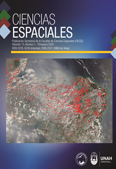
There is currently a wealth of geospatial information available for free on Greenhouse Gas (GHG) emissions and hot spots. This study sought in 2020 to establish a correlation between hot spots and their effect on Honduran air quality. Geospatial technologies facilitated the acquisition, download and analysis of pollution data and hot spot detection. Fires increase harmful atmospheric gases, the analysis noted that the departments of Olancho, Francisco Morazán and Gracias a Dios are the most affected by hot spots (fires). In addition, Yoro, Córtes, Atlántida, the north of Francisco Morazán and Comayagua, and the northwest of Olancho as those that present greater variations in the levels of affectation in the air quality of the four gases analyzed: carbon monoxide, nitrogen dioxide, sulfur dioxide and aerosols.
Downloads
497
Downloads
Published
How to Cite
Issue
Section
License
Copyright (c) 2024 Ciencias Espaciales

This work is licensed under a Creative Commons Attribution-NonCommercial-NoDerivatives 4.0 International License.

